Best Apps for Planning Astrophotography
The best astrophotography apps: plan the Milky Way, forecast clouds, measure light pollution and line up the perfect shot.
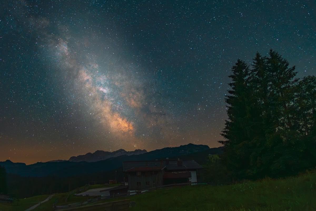
In astrophotography, the photo is decided days before you touch the camera. The position of the Milky Way, the moon phase, cloud cover, how dark the site is, even the exact alignment of the galactic core with that lighthouse you want in the foreground: all of it can now be planned from the couch. Astrophotography apps have turned what used to be specialized astronomical knowledge into a five-minute lookup.
But the catalog is overwhelming: planetariums, ephemeris planners, light pollution maps, astronomical weather... This article sorts the ecosystem by function, so you know which app answers which question and can build your complete planning workflow.
Tools change; fundamentals don't. Everything you plan gets executed with the technique from the night and astrophotography guide: that is the other half of the equation.
Which app tells me what will be visible tonight?
Stellarium (web, desktop and mobile): the reference planetarium, free in its base versions. It simulates the sky from any place and date, with a realistically rendered Milky Way. Use it to find out what time the galactic core rises and how high it will get.
Sky Guide / SkySafari (mobile): you point your phone at the sky and it tells you what you're looking at, using augmented reality. Perfect in the field for identifying objects and checking orientations.
Star feature for astrophotographers: the fast-forward time mode. It runs through the night hour by hour and finds the exact window when your target crosses the part of the sky you care about.
How do I design the photo before I get to the location?
This is the leap from "looking at the sky" to "designing the image":
PhotoPills: the industry standard. Its map-based planner shows where the Milky Way, the sun or the moon will be from any point on the planet on any date, and its augmented reality lets you preview the galactic arch over the real scene. It also includes exposure and hyperfocal calculators and sharpness rules.
The Photographer's Ephemeris (TPE): veteran and elegant, especially strong on sunrise, sunset, moonrise and moonset lines on the map. Ideal for lining up the moon with landscapes.
Planit Pro: the most technical, with framing simulation for exact focal lengths.
With any of them, the workflow is the same: you choose the camera spot and the date, and the app draws the azimuths. If the core rises at 135° at 1:20 a.m. and your rock is right on that line... you already have the photo. These apps also calculate golden hour and blue hour; for that same purpose you have the Enfogram golden hour calculator available without installing anything.
Clear skies and dark skies: weather and light pollution
A perfect alignment is no use under clouds. Astronomical weather goes beyond the ordinary forecast:
Need: Clouds by layer and hour; App type: Astronomical weather; Examples: Clear Outside, Meteoblue (seeing); What to look for: High, mid and low clouds under 20 %
Need: Transparency and seeing; App type: Astronomical weather; Examples: Meteoblue, Astrospheric (Americas); What to look for: Seeing indexes 3+/5
Need: Site darkness; App type: Light pollution map; Examples: Light Pollution Map, Dark Sky maps; What to look for: Bortle zones 1-4
Need: Moon phase and position; App type: Ephemeris; Examples: PhotoPills, TPE, Stellarium; What to look for: Moon below the horizon during your window
Need: Auroras (if applicable); App type: Solar activity; Examples: SpaceWeatherLive, KP apps; What to look for: KP index and Bz component
Light pollution maps deserve a special mention: they show the artificial sky brightness by color zone and let you find the darkest sky closest to your city. Learning to read them together with the Bortle scale improves the quality of your skies more than any new lens.
What do I check the month, the week and the day before?
Here is how the pieces combine for a real Milky Way outing:
A month before: identify the new moon window (ephemeris) and the core season.
A week before: choose a location with the light pollution map (goal: Bortle 4 or better) and verify in the planner that the core lines up with your foreground.
Two days before: watch the astronomical weather; have a plan B less than an hour from plan A.
The day of: confirm clouds hour by hour, check the exact time astronomical twilight ends, and prepare your gear.
In the field: augmented reality for fine framing, and then execute the technique: you'll find the specific settings in Milky Way: planning, settings and the 500 rule.
The discipline of planning also reduces the genre's number one problem, the noise that comes from improvising under a poor sky: on that, low light without noise: focus, ISO and real minimum shutter speed completes the picture.
Frequently asked questions
What's the one essential app if I can only choose one?
A full planner like PhotoPills: it brings together ephemeris, Milky Way position on a map, augmented reality and calculators. You complement it with any free cloud website and a light pollution map in your browser.
Are there free options good enough to get started?
Yes: Stellarium (planetarium), Clear Outside (clouds) and the web version of Light Pollution Map cover 90 % of planning without spending anything. Paid apps add convenience and integration, not secret information.
What is astronomical twilight and why does it matter?
It's the moment when the sun is more than 18° below the horizon and the sky reaches full darkness. Before that, a residual glow washes out the faint stars. Your apps show it as "end of astronomical twilight": that is your real start time.
Are augmented reality apps accurate for aligning the Milky Way?
For general framing, yes. For millimeter-precise alignments (the core behind a specific tower), trust the numerical azimuths on the map more than your phone's compass, which can drift several degrees near metal or cars.
What apps don't do for you
Modern astrophotography is two disciplines: planning with data and executing with technique. Apps solve the first completely, with sky, moon, clouds and darkness available to check by the minute, and let you arrive in the field with the photo already designed.
Execution, however, is still up to you: focus, exposure and nerves of steel in the dark. At Enfogram you'll find the 44 photography cards with the exact settings for every situation: print them, carry them with you and shoot with confidence.